What are the tectonic (lithospheric) plates? What is the crust?
Video lecture on four basic types of plate tectonic boundaries: divergent (spreading), transform (strike-slip), and convergent (subduction and continental collision) types of plate boundaries. Clarifies what the tectonic, or lithospheric plates are. Lithospheric plates have two parts consisting of crust and upper mantle. This was recorded at a workshop for middle-school Earth-science teachers in 2006 by Dr. Robert Butler
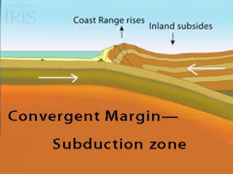
The subduction zone iswhere two tectonic (lithospheric) plates come together, one subducting (diving) beneath the other. The plates are locked together and periodically overcome the friction causing the leading edge of the overlying plate to surge back, lifting a wall of water producting a tsunami.
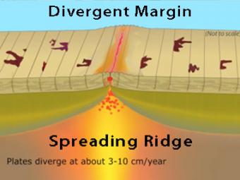
New oceanic crust is created at this boundary when basalt magma, formed in the mantle, rises into fractures in the crust and solidifies. Spreading ridges are high elevation because the young oceanic plate at the ridge crest is hot and less dense than the older, colder and more dense plate on the flanks of the ridge.
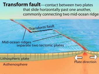
A transform fault is a type of strike-slip fault wherein the relative horizontal slip is accommodating the movement between two ocean ridges or other tectonic boundaries. They are connected on both ends to other faults.
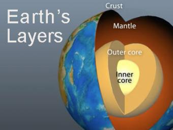
The Earth has 3 main layers based on chemical composition: crust, mantle, and core. Other layers are defined by physical characteristics due to pressure and temperature changes. This animation tells how the layers were discovered, what the layers are, and a bit about how the crust differs from the tectonic (lithospheric) plates, a distinction confused by many.
People often use the terms crust and tectonic plates interchangeably. It can be confusing because they are paired, and yet they are distinct from each other.
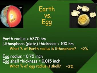
Conceptual model of the relative thicknesses of the Lithosphere relative to the diameter of the Earth uses a hard-boiled egg to gain understanding about the scale of the lithospheric plates.
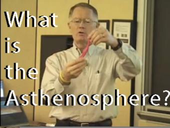
Silly Putty is used as a model to show how the asthenosphere is elastic when exposed to short-duration forces (like seismic waves) but plastic when exposed to long-duration forces (like the load of the Hawaiian Islands on the Pacific Plate).
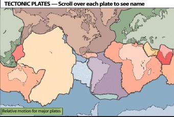
Interactive map of tectonic plates from the US Geological Survey plate tectonic map reveals the plate names when you scroll over the plate. Scrolling over green button shows relative motions.
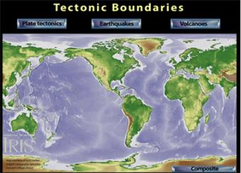
How are the tectonic plates related to earthquakes and volcanoes?
Interactive relief and bathymetric map reveals tectonic plates, as well as world-wide earthquakes and volcanoes.