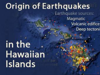
From our knowledge of earthquake history in Hawai’i, we can calculate the shaking or seismic hazard from large earthquakes. In the hazard map, warm colors, seen mostly on the Island of Hawai’i, indicate the highest seismic hazard in the state, comparable to that along the San Andreas fault zone of California. Seismic hazard decreases northwestward along the Hawaiian island chain, as shown by cooler colors, but it remains significant as far northwest as O’ahu.
CLOSED CAPTIONING: A .srt file is included with the downloiad. Use appropriate media player to utilize captioning.
Earthquakes occur in three regions:
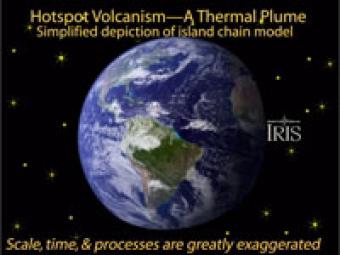
A volcanic "hotspot" is an area in the mantle from which heat rises as a thermal plume from deep in the Earth. As the tectonic plate moves over the stationary hot spot, the volcanoes are rafted away and new ones form in their place. This results in chains of volcanoes, such as the Hawaiian Islands.
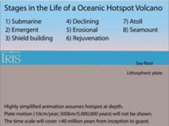
This animation shows the evolution of a single island in a hotspot chain as it forms and evolves over a period of about 40 million years.
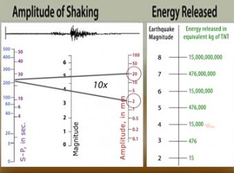
The "moment magnitude" scale has replaced the Richter scale for large earthquakes. Scientists have developed far-more sensitive seismometers that, with faster computers, have enabled them to record & interpret a broader spectrum of seismic signals than was possible in the 1930's, when the Richter magnitude was developed. Find out what scientists learn from seismograms.
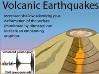
Earthquake activity beneath a volcano almost always increases before an eruption because magma and volcanic gas must first force their way up through shallow underground fractures and passageways. The continuous release of seismic energy is induced by the movement of magma.