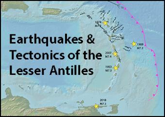
The islands of the Lesser Antilles are formed by the subduction of the North and South American Plates (referred here as the "Atlantic plate") beneath the Caribbean Plate. Convergent plate margins, where two oceanic plates are colliding, often produce megathrust boundary earthquakes. Those are curiously absent along the Lesser Antilles trench.
Much has been learned in the past decades about the affect of the subducting plate.
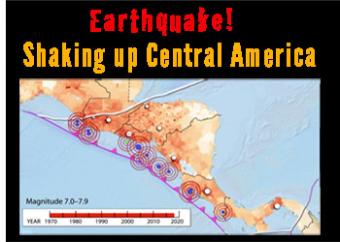
Central America is one of the most vulnerable and highest risk areas in the world for earthquakesis. It is squeezed by five tectonic boundaries, including a subduction zone boundary where the Cocos Plate dives beneath the Caribbean Plate. High risk is due to the complicated complicated tectonic landscape is populated by 50 million people, often in villages built before earthquakes were understood.
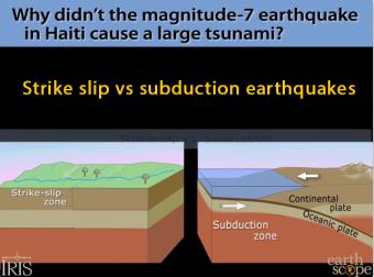
Strike-slips faults like the one that devastated Haiti don't generally cause tsunami, except for small local ripples. The Haiti earthquake was a horizontal motion. Tsunamis are caused by either an uplifting of the ocean floor, or by a huge chunk of land sliding into the ocean. Subduction-zone earthquakes raise the ocean bottom suddenly to push the water in tsunamis.
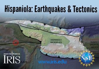
Hispaniola straddles four plates: the Caribbean Plate and the Gonâve, Hispaniola, and North Hispaniola microplates. It is squeezed between the North American and Caribbean Plates. The island, which includes both Haiti and the Dominican Republic, is home to 22 million people.
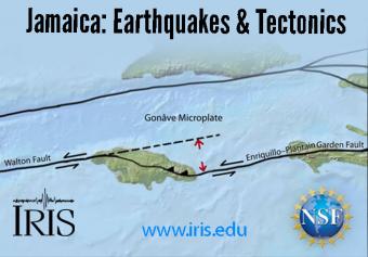
Jamaica straddles the Caribbean Plate and the Gonâve Microplate, the largest of four microplates that are caught in a crunch between the North American and Caribbean Plates. Jamaica has had a long history of deadly earthquakes.
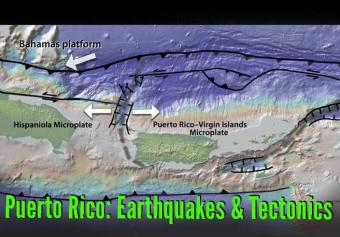
In January 2020, Puerto Rico was rattled for more than three weeks by over 400 earthquakes greater than M3. Before addressing that sequence, this animation will look at the broader tectonic setting and earthquake history.