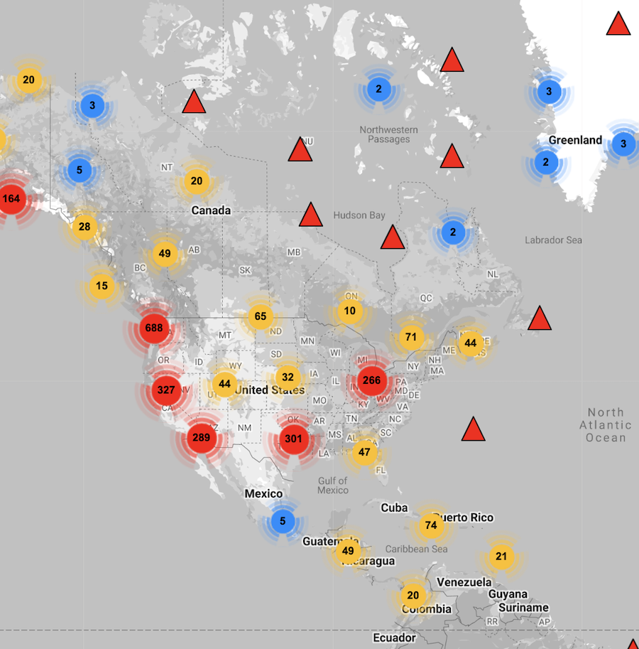
As you prepare your Earth science lesson plans, consider creative ways to teach earthquakes. How can you make earthquakes relevant to all your students? Do you know you can search for recent seismic recordings in your region - or around the world? Do you have access to earthquake data your students can analyze? A teacher favorite from IRIS is Station Monitor, a 2021 Best of STEM Winner. With this resource, you and your students can explore earthquake data on the web or with an app for your mobile device.
 Station Monitor provides access to continuous, real-time ground motion from hundreds of locations around the globe. This data, collected by seismometers, measures motion generated by earthquakes, volcanic eruptions, storms, trains, quarry blasts and other seismic sources. You can view current seismic recordings, learn about recent events, view recordings from past earthquakes, see annotations of wave arrivals, and much more. Select a station near you to see what's shaking!
This is also an exciting time for us at IRIS! In December 2022, we will be merging with UNAVCO, an NSF-funded geophysical facility that focuses on geodesy, and changing our name to the EarthScope Consortium. Although our name will change, we remain committed to developing and offering free high-quality educational materials. Be assured that our current collection of free educational resources will still be available! We look forward to expanding our products in the future to include geodesy and other Earth science topics.