
 by Dr. Wendy Bohon
On June 1, 2014 a Mw 3.2 earthquake occurred in Weld County, CO near well C4A, a high-rate injection well whose injection rates had exceeded 250,000 barrels a month since August of 2013. Three days after the earthquake, the University of Colorado deployed the first of six seismometers provided by IRIS PASSCAL to record microseismicity around the earthquake epicenter. The combination of long-term earthquake records from permanent regional seismic stations coupled with the high-quality earthquake locations from the temporary seismic deployment allowed researchers to determine exactly where the earthquakes were occurring and when they started.
 Yeck and colleagues found that the seismic activity in the area began within months of the start of wastewater injection at well C4A, and that most microseismicity occurred within 4 km of the well. This information, and the historic lack of seismicity in the area, lead these researchers to conclude that the M3.2 event and its aftershocks were the result of wastewater injection from well C4A. In order to mitigate the risk of additional seismic activity, the rate of wastewater injection was immediately decreased and the bottom of the well was plugged.
The rapid deployment of seismic equipment made possible by IRIS PASSCAL was critical, allowing seismologists to quickly make observations and relay the information to industry, regulators, and the public. This study is a case example of how communication, collaboration and cooperation between scientists, industry professionals and regulators can help to mitigate induced earthquakes.
For addition information please see the USGS / UC Press Release
Publication:
Yeck, W. L., Sheehan, A. F., Benz, H. M., Weingarten, M., & Nakai, J. (2016). Rapid response, monitoring, and mitigation of induced seismicity near Greeley, Colorado. Seismological Research Letters, 87(4), 837-847. doi: 10.1785/0220150275
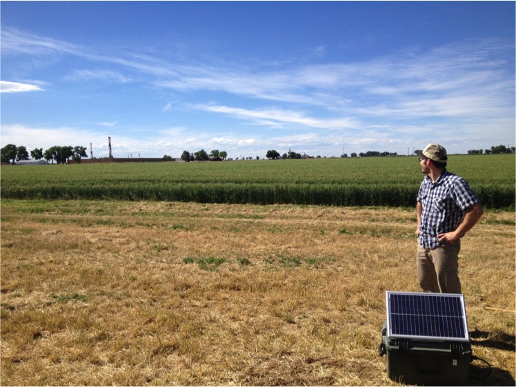
Image (above): Matt Weingarten enjoys the scenary while deploying seismometers in the study area. (Photo by William Yeck)
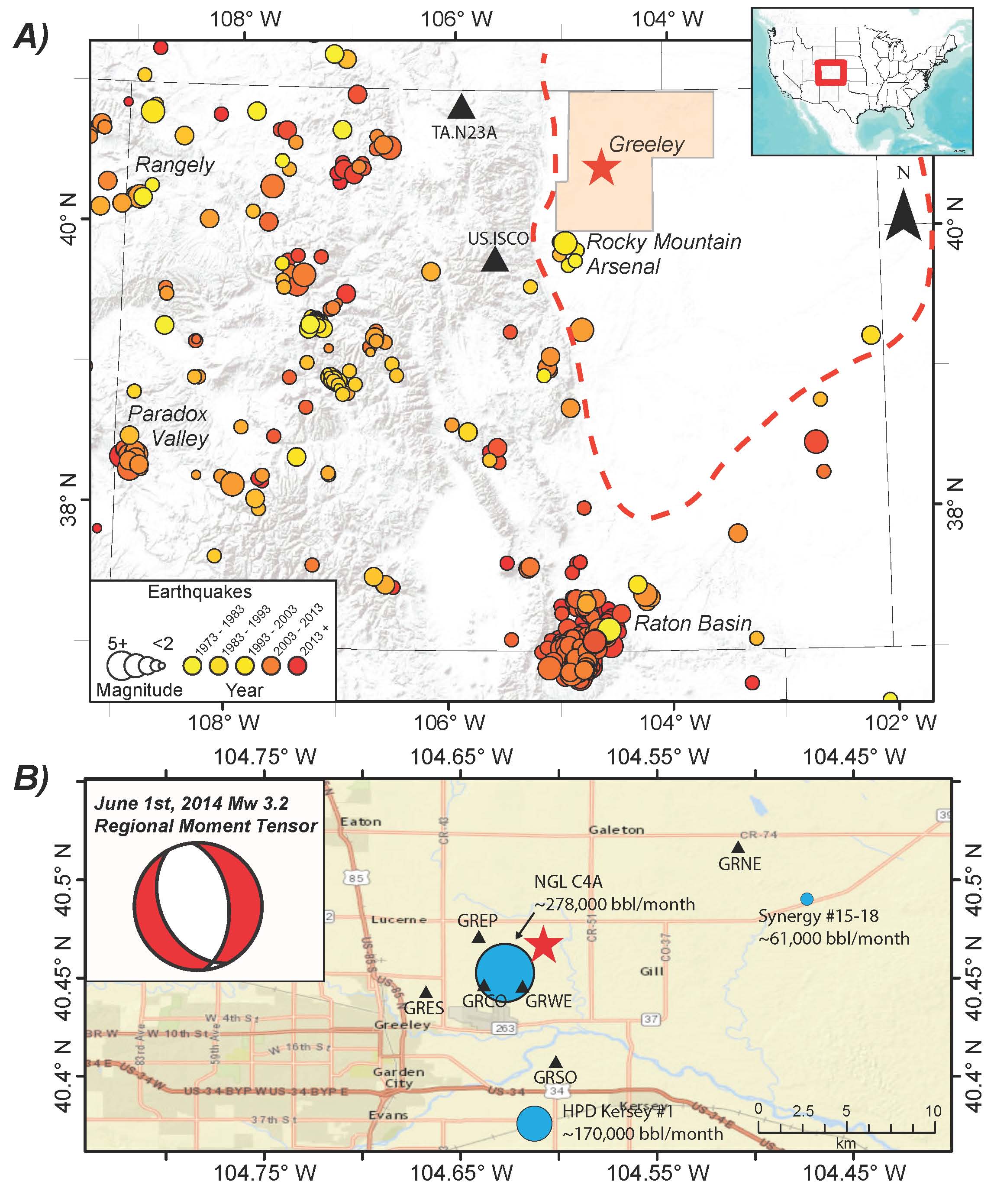
Figure (at right) A. Seismicity of Colorado (circles) and the location of the Weld County earthquake (red star). Black triangles are permanent seismic stations. Other notable regions of documented induced seismicity in Colorado are labeled, including the Raton Basin, Paradox Valley, Rangely, and the Rocky Mountain Arsenal (RMA). Seismicity data are from U.S. Geological Survey (USGS) Advanced National Seismic System (ANSS) catalog. The inset map illustrates a broader view of the location. B. The location of the Weld earthquake epicenter (red star), initially reported by the USGS National Earthquake Information Center (NEIC), as compared to nearby wastewater disposal wells (blue circles) and temporary seismic stations (black triangles) deployed after the Greeley Mw 3.2 earthquake. Injection well symbols are sized by one-year average of monthly reported injection rates prior to Greeley mainshock. The focal mechanism of the 1 June 2014 Greeley Mw 3.2 earthquake is shown in the bottom left corner.
